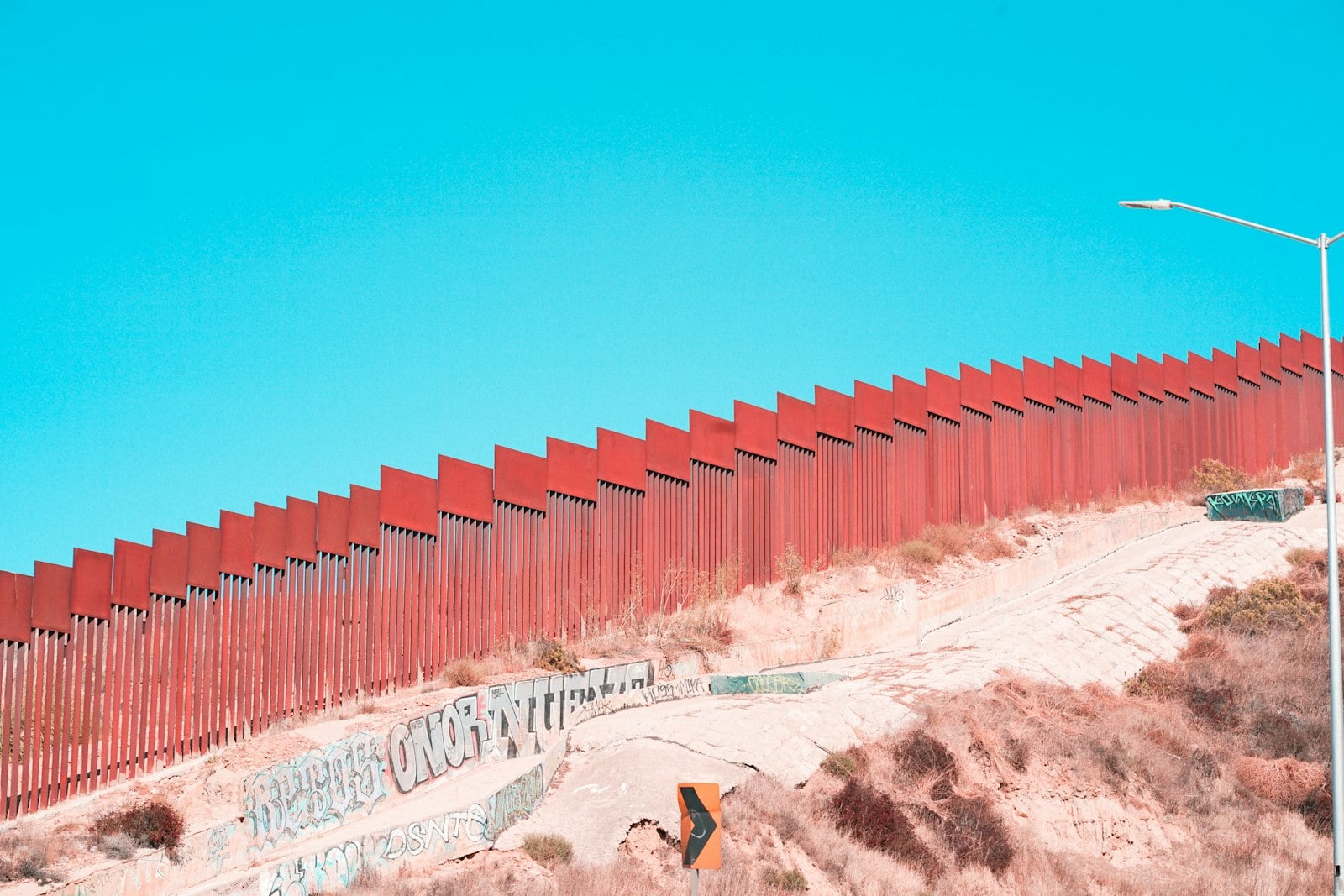
San Ysidro & Otay Mesa
The county's southern gateway — three distinct communities, mapped honestly.
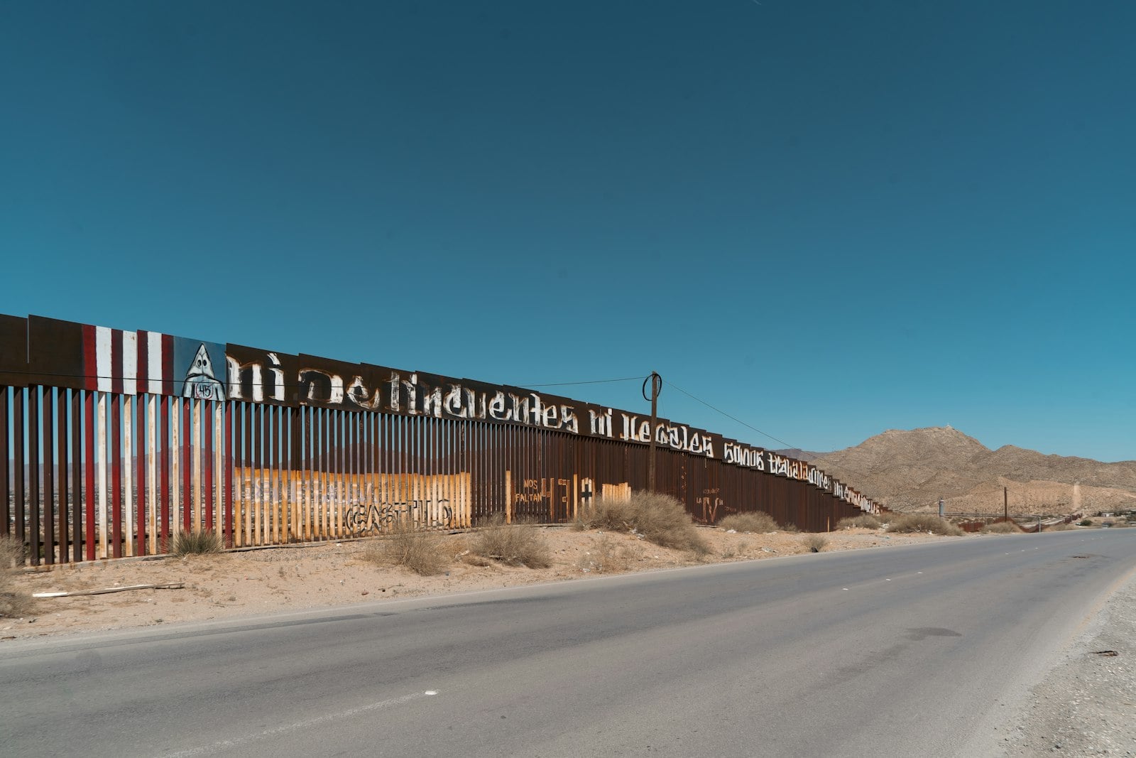
35San Ysidro, Otay Mesa, and Otay Mesa-Nestor are not interchangeable. The first holds the world's busiest land-border district and Las Americas; industrial Otay Mesa holds CBX; Flower Avenue, Beyer Boulevard, and Palm Avenue belong to the separate Otay Mesa-Nestor planning area. This combined guide keeps those labels visible while filling the county map's southern edge with useful, verified stops.
10 verified places across the full guide. Focus a pin to see the exact block and nearby streets.
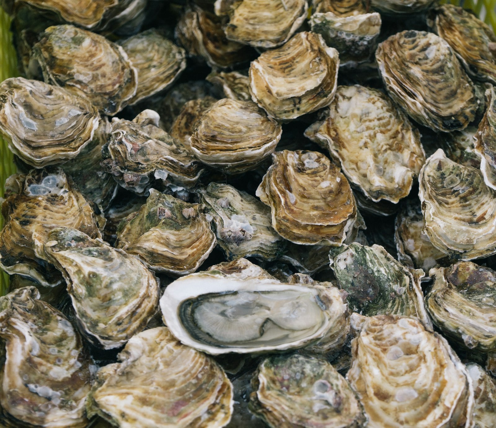
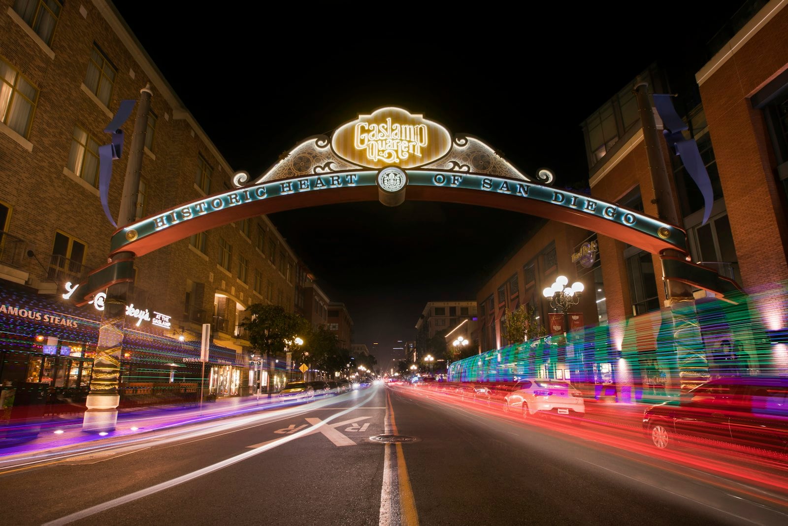
This is the area's strongest destination-quality stop, full stop.
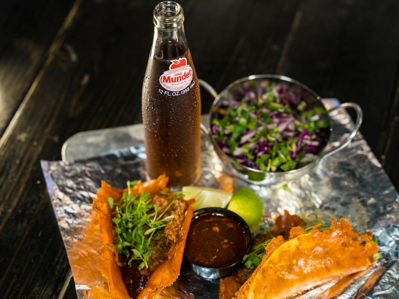
Beyer Deli represents everyday Nestor better than another border-facing attraction.
This is the Palm Avenue branch, with its own ratings and its own operating record—not borrowed evidence from Broadway or Las Vegas.
CBX is useful infrastructure, not a sightseeing stop.
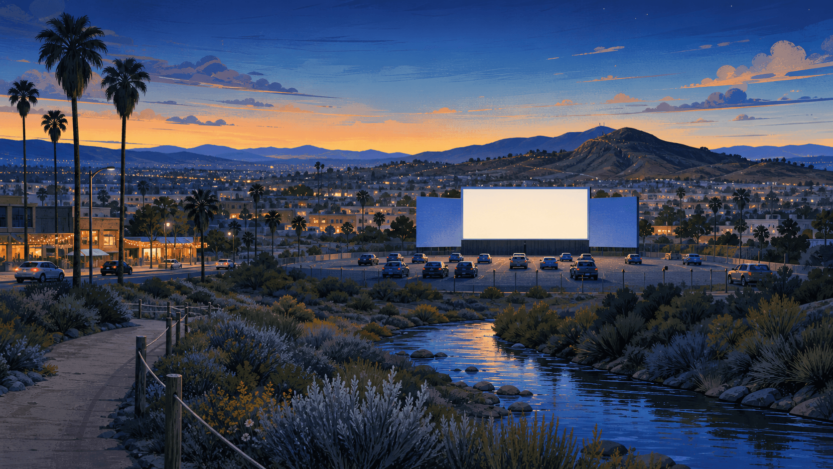
The river valley is this guide's necessary outdoor counterweight: a long green break through South Bay with walking, cycling, wildlife, and less manicured terrain than the county's showcase parks.